Aller au contenu principal
Sentiero Stilicone

Stilicone trail

The Metropolitan City of Florence
By walk & by bike

The Stilicone trail was devised by the volunteers of the Il Crinale hiking group in collaboration with the Municipality of Fiesole, in order to open an easy connecting route between Fiesole and Olmo, to explore on foot or by MTB, in a mostly man-made land rich in historical and cultural cues.

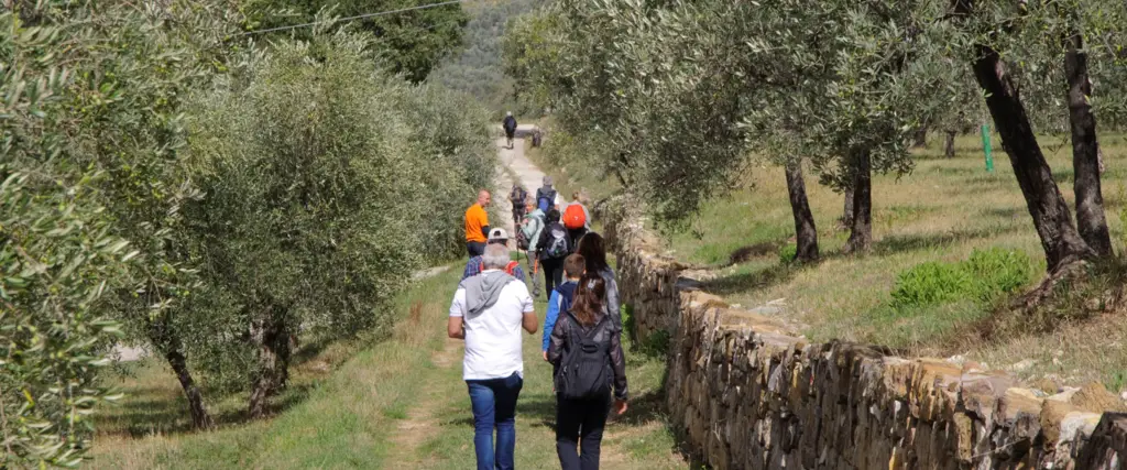
The trail crosses the green Fiesole countryside, home to famous artists, marked by vineyards and olive groves, watchtowers and medieval churches, in a land that was inhabited since the Etruscan Age.

The trail follows in part these ancient tracks even inside the city and it stands out from a nature point of view thanks to a diverse vegetation and the presence of many species of wild orchids.

The idea was born from an historic event: in 405 AD the Ostrogoths led by King Radagaisus invaded Italy from the north and spread with raids and devastation. During nine months the advance guards reached Florence besieging it while the bulk of the Ostrogoths with women and children settled on the Fiesole hills, rich in water springs, while waiting to cross the Arno river. The Roman general and politician Stilicone, with a few men but with clever strategy, split the army in two units and, taking advantage of the basin shaped Mugnone valley, launched the attack defeating the Ostrogoths at Mons Regis, that later became Montereggi. Legend has it that the place name Vetta Le Croci over Olmo recalls the numerous burials that followed the battle.

You can download the trail map, in GPX version too, from the Comune di Fiesole website

Crédit photo

Comune di Firenze

Informations rapides
Travel length
10.00km
Travel time
3.00h
Municipalités
Fiesole

Informations utiles

Pièces jointes
Étapes

Étapes

Fiesole

Dall'ingresso dell'Area Archeologica di Fiesole dirigersi lungo via Portigiani verso Borgunto e uscire dall'abitato seguendo la segnaletica.
Via Portigiani, 1, 50014 Fiesole FI, Italia

Santa Margherita a Saletta

Seguire il sentiero fino alla chiesa di Santa Margherita a Saletta: più volte restaurata, compare nei possedimenti del Vescovo di Fiesole come "Curtis di Sala" (Sala è un toponimo di chiara origine longobarda) nel XI-XII secolo, ma nei suoi dintorni sono affiorati reperti archeologici fin dall'età etrusca; nel 1654 fu poi aggregata dal vescovo Roberto Strozzi alla Pieve di Montereggi.
Via Caldine, 10, 50014 Santa Margherita A Saletta FI, Italia

Sant'Ilario a Montereggi

Sant'Ilario a Montereggi è una delle chiese più antiche della Diocesi: di essa si hanno notizie a partire dal secolo XI nel 1565 poi, con il raggiungimento del titolo di Pieve, fu consentito officiarvi il sacramento del battesimo e vi fu realizzato il fonte battesimale.
Strada Provinciale 54 dei Bosconi, 50014 Fiesole FI, Italia

Sorgente Acquinvogliolo

Questo territorio è ricchissimo d'acqua, tanto che nel 1812 le sorgenti principali furono captate e incanalate nel condotto già esistente per Firenze. Probabilmente già i Romani captarono una sorgente più a nord rispetto a quelle di Montereggi, in località aqua bulliens, oggi Acquinvogliolo, ricordata poi fino ad epoche recenti per la «sua costante perennità, oltre alle altre eccellenti qualità che la distinguevano».
Acquinvogliolo, 50014 Montereggi FI, Italia